
By Beth Sullivan
Most people know left
from right instinctively. I admit I have to think about it and
sometimes look at my ring finger. Many people know North, South, East
and West almost the same way; they just get it. Sometimes when I
am outside I can feel it based on sun angle and position.
There are also those
people who can look at a map whether on a trail, in a car, or on
paper and know exactly where they are, which way they have come, and
where they are going on the route or trail. I am definitely not one
of those, and from what I hear from fellow hikers, I am not alone.
When I see a trail map at an intersection in an unfamiliar woodland,
it really takes me a while to sort out East and West, right and
left,, and where I am. When I use my GPS or set my map on my car,
I have to have my arrow going in the direction of travel pointing up.
Can’t do that in the woods. Nor can I rotate the trail maps to
get me headed correctly, so I am often found looking like I am
standing on my head trying to figure it out. The easiest thing for
me to do is to get to know the trails really well so I don’t have
to consult the maps.
But that doesn’t help
our visitors and our occasional hikers. In the town of Stonington,
we have quite a number of beautiful properties with intersecting
trails. As a steward, I am the one who gets the complaints from
people saying that several of our maps in certain preserves are
difficult to figure out. Maybe they were placed by those lucky folks
who really know their directions. One problem we have is that we
often do not have easy choices about where to actually place the
posts for these maps. Our soil is so rocky, and in some places pure
ledge. The volunteers who put up the signs in many of our preserves
had to take that into mind too. A map on one side of the trail makes
sense, that same map on the other side of the trail, facing opposite,
makes no sense at all ( to me).
 |
| The map of Paffard Woods, when on one side of the trail was not oriented to East and West properly. On the other side of the trail it worked for me. |
 |
| From our website, the trail map for Paffard Woods is available for viewing on your phone or can be downloaded and printed. It matches the signs found on the preserve. |
 |
| The smartphone app opens with the entire area covered by Avalonia and dotted by all the preserves. |
You are here
We had noticed that
some visitors had taken to printing “You are here” on some signs.
Some had posted stick-on stars, which also works. It is hard and
expensive to have truly individualized maps printed that designate
individual intersections. Recently a couple of our town stewards
decided to take matters seriously and assessed a few of the more
complex trails in town and re-oriented the maps as best as they could
considering conditions. In many places, simply placing the signs on
the other side of a trail made it work. The positioning may not look
as convenient or intuitive on first sight. But once you face the sign
it is apparent that it is easier to get oriented. No uncomfortable
head turning and consulting ring fingers for left and right, East and
West.
Avalonia has all of our
trail maps on our website. They are easy to download and print at
home, if you want to have a paper map in hand. But they are also easy
to access on your smart phone as you walk. And you can turn your
phone any way you choose. You can find the maps here.
Technology is changing
and improving so rapidly that it is now possible to find our maps
on-line in an interactive format, that not only shows you the
preserve’s trails and some features such as stone walls as land
marks, it also follows you along with GPS as you navigate the trail
itself. No longer do you have to wonder where you are in relation to
the next intersection, or try to figure out how much farther you have
to go on a loop. You can see it in hand. For a better idea of how to
use this map and download the app, visit our website page here. There you will get a demo on how to use the maps on the app and you
can then download it to your phone. You will have all the Avalonia
trails in the palm of your hand.
Avalonia Land
Conservancy recently received a generous grant from Chelsea Groton
Bank. One goal of this grant is to create new trail signs for several
properties where we have added trails and also create signage for
some of our new properties. People will always welcome a map at a
trail head and kids will need to learn maps skills too. But the
present is in the palm of our hand.
And while you are
hiking with your smart phone, be sure to try out Hike and Seek for
some added fun. Find out more here.
We have weeks of lovely
hiking weather ahead. Enjoy!
 |
| Zooming in lets you pick the preserve you want to explore. |
 |
| A closer zoom will reveal details like stone walls and wetlands. At this scale you can follow your movement along the trails. |
 |
| Another helpful background shows the landscape. |
 |
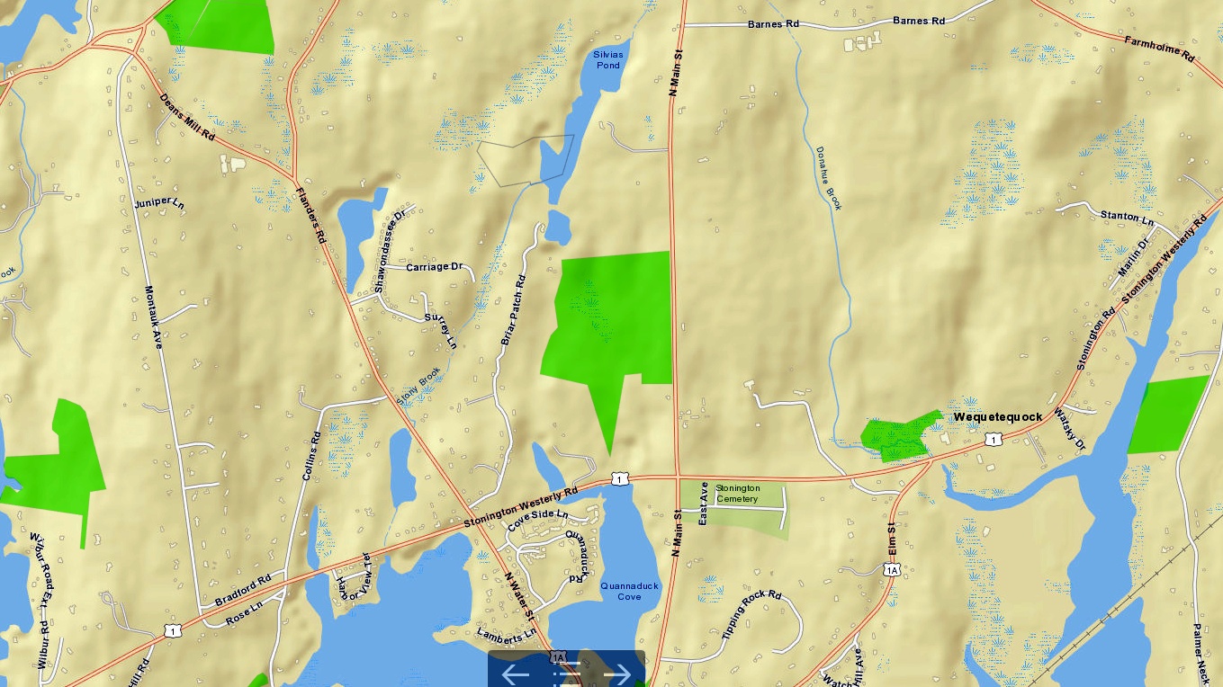
| You can also change the background to see the topography. |
Photographs by Beth
Sullivan.
No comments:
Post a Comment